For Police Simulator: Patrol Officers players, if you having trouble guessing what the right speed limit is for a road that doesn’t have it posted, this guide’s for you!
The Map
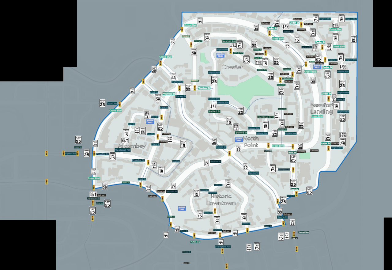
The map shows you street names, speed limits, and lights.Because the image is over the 2mb limit (and growing with each new district), it will be linked instead.
Credits
- Developer: Stop light model, Street name signs, Layout of the map.
- Google Image Search: Speed Limit & One Way signs.
- SomehowLucky (me): For compiling this map over a couple of days.
Reference Images
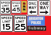
This is an image i compiled for the map icons.
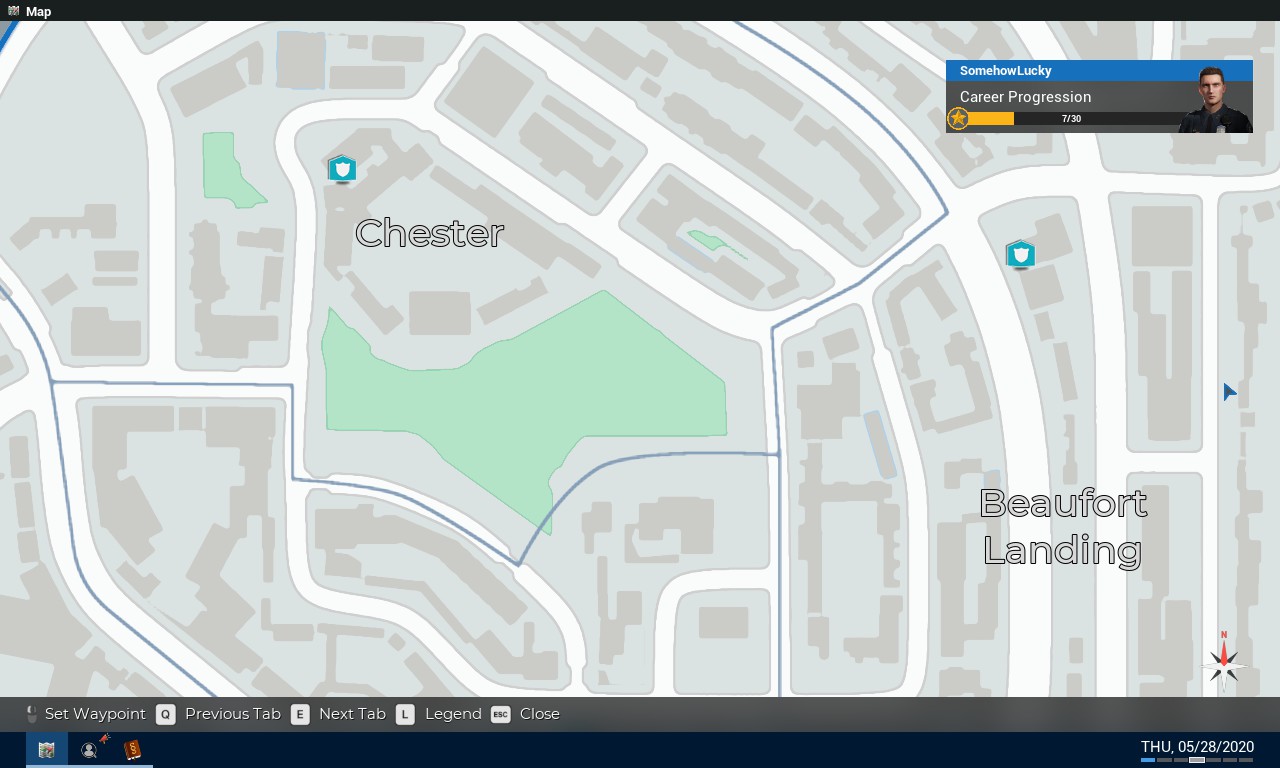
Using the map in the Police Computer (car at the time since i overlooked you had the map on foot) to align the map. Locked districts will be added when they are added to the game.
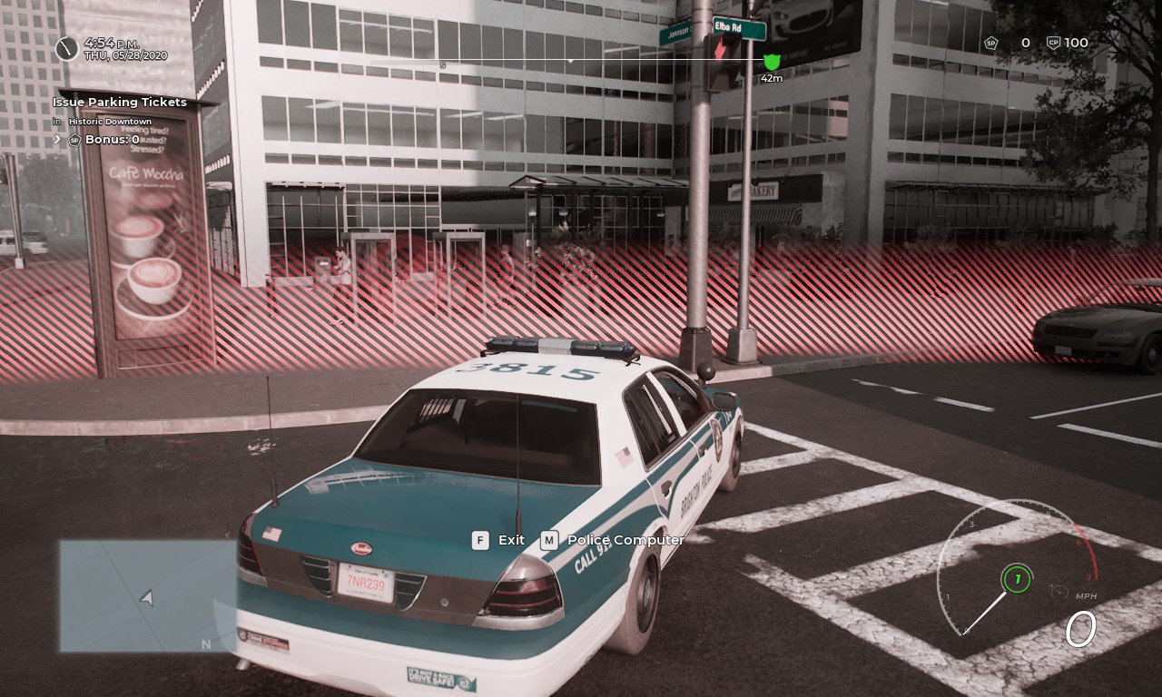
Getting the signs (and speed limits via radar gun when not posted) for out of bounds areas.
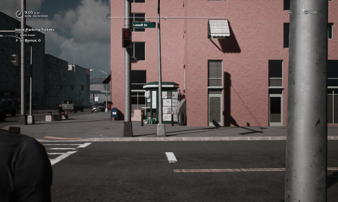
Positioning myself so that the street name is about as perfect as a square as can be. In addition to size. Too small makes it harder to read. Too big requires it to be scaled down.
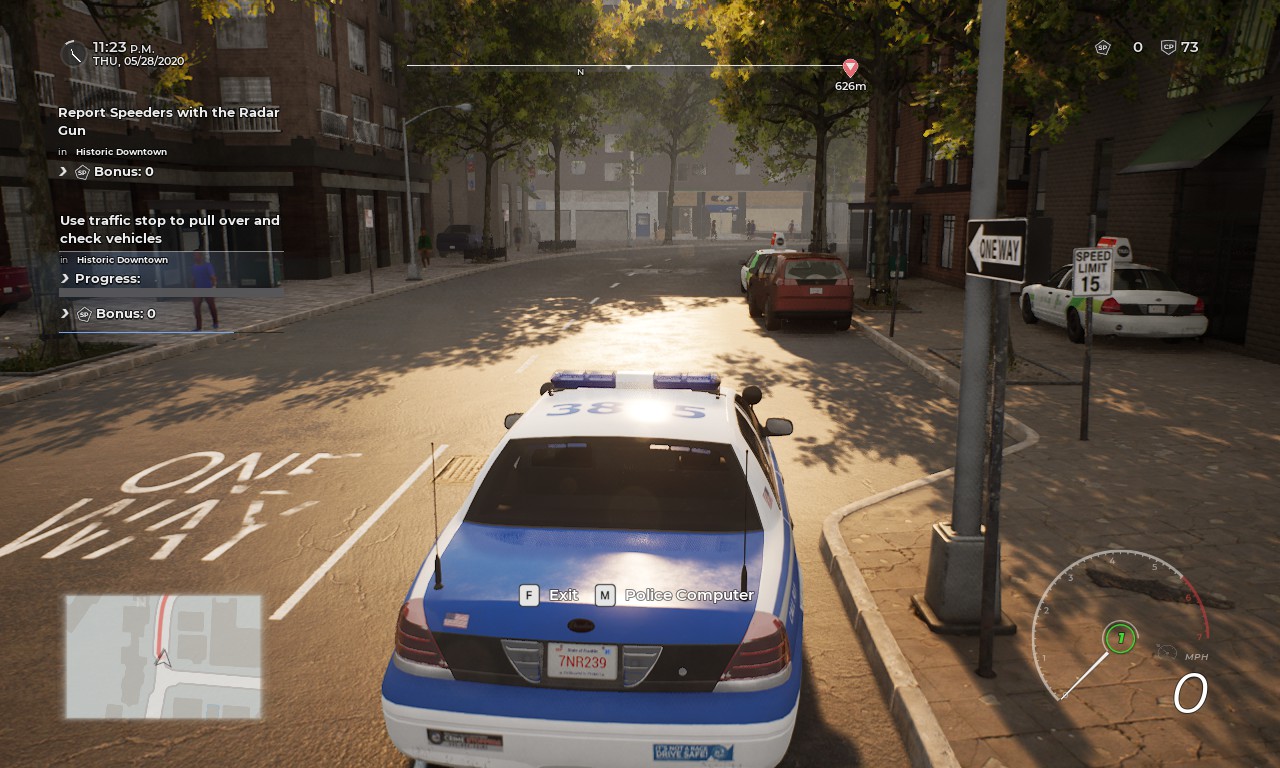
Checking the road for One Way & a Speed Limit sign (which is lacking on roads with 25).
And this is a basic insight to how the images were gathered to make this map happen. I encourage anyone who can make a realistic map to improve this map and publish their own guide.
That’s all we are sharing today in Police Simulator: Patrol Officers Reference Map Guide (June 2021), if you have anything to add, please feel free to leave a comment below, and we’ll see you soon.
Credit to SomehowLucky
Related Posts:
- Police Simulator: Patrol Officers Ultimate Parking Guide
- Police Simulator: Patrol Officers How to Play Open Beta
- Police Simulator: Patrol Officers Traffic Accidents Guide
- Police Simulator: Patrol Officers Aggravated Assault Event Guide
- Police Simulator: Patrol Officers How to Detain
