For Microsoft Flight Simulator players, this quick and simple guide will show you how to use Google Maps Lat/Long information to set a custom departure or destination in MSFS.
Super Simple Explaination
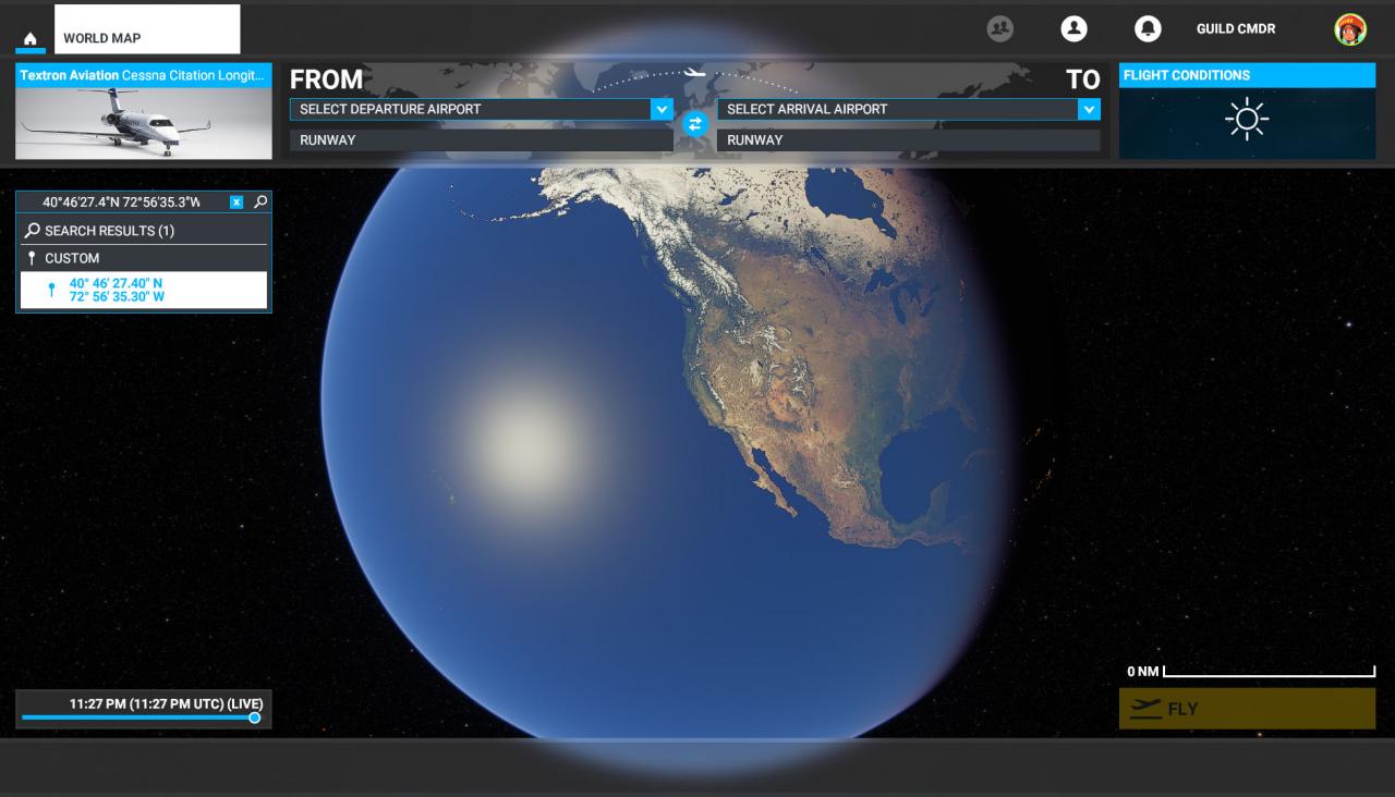
Copy and Paste the GPS coordinates you get from Google Maps into the “Search” field on the world map.
It seems to support both formats found on a Google Map page such as:
43.055231, -76.160241
Or
43°03’18.8″N 76°09’36.9″W
Paste this info in the search box and you will see a custom pin option displayed. Click on that pin and the map will zoom into your location. You can now set it as a departure or destination point for your trip.
You are done!

How to Use Google Maps
We will quickly cover how to use Google Maps to get the Lat/Long information to use in the Sim. Some of you may not be familiar with this process, but it is very easy.
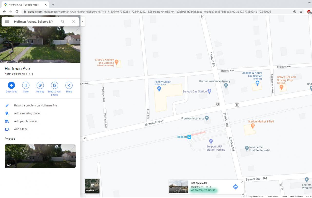
Once the pin shows up on the Map, you can right click on it and select “What’s Here”
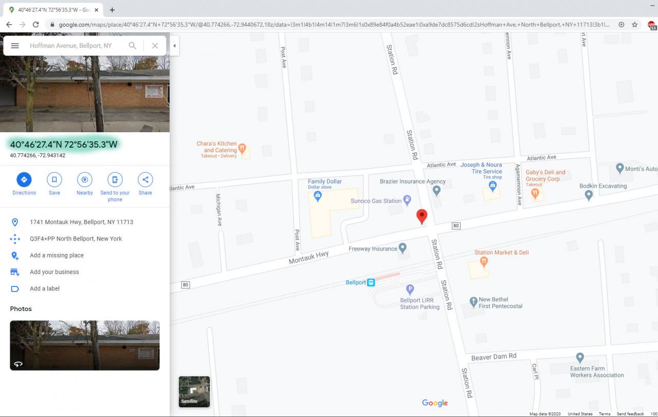
You will then see some numbers highlighted in the image below. Click on them.

This will then give you an easy place to copy the information from. Copy the highlighted section. Shown below.

Go into the Sim and paste the coordinates into search (on the left under the plane)
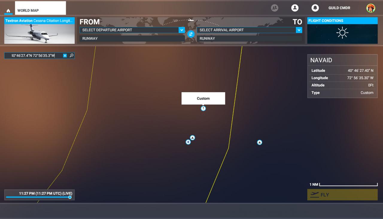
You will see a custom waypoint option. Select that.
 it will zoom into your custom loction and from here you can set it as a departure or arrival point for your trip.

That’s all we are sharing today in Microsoft Flight Simulator All Planes List, if there are anything you want to add please feel free to leave a comment below and we’ll see you soon.
Credit to Guild Sweetheart
Related Posts:
- Microsoft Flight Simulator How to Capture ILS Glideslope for Landings
- Microsoft Flight Simulator How to Fix TrackIR
- Microsoft Flight Simulator Refueling During Bush Missions Guide
- Microsoft Flight Simulator Auto Pilot Guide
- Microsoft Flight Simulator All Planes List
